
Two readings, one sensor
The same ground-based approach, pointed at two different problems.
Water level analytics
Built for coastal authorities & port operators
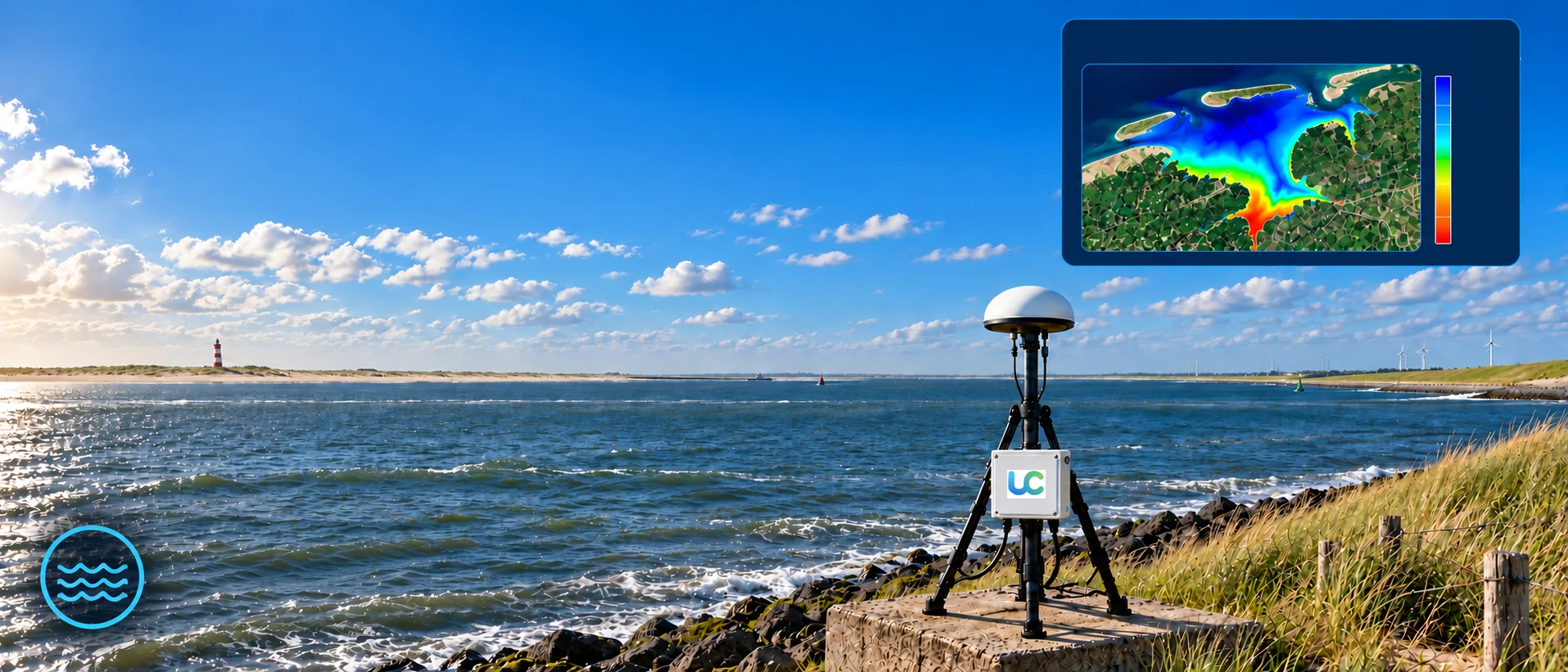
Water Level
Monitor lakes, rivers, reservoirs and coastal waters.
Detailed maps of tides, currents, and water surface height, updated continuously — for the people who need to make decisions before the water does.
-
✓
Tide & surface height
Continuously updated height readings, accurate to the centimetre.
-
✓
Current & wave motion
Surface movement patterns derived from how the reflected signal shifts.
-
✓
Storm & flood alerts
No submerged parts to damage or dislodge during severe weather.
Soil moisture monitoring
Built for agri-tech & geotechnical teams
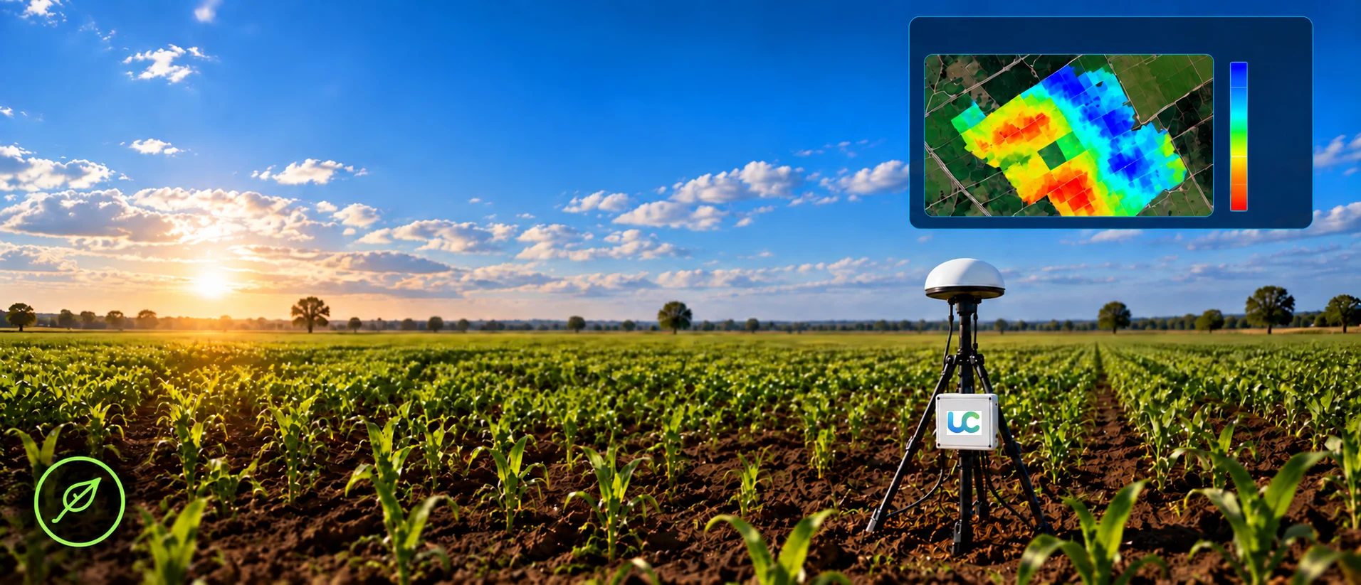
Soil Moisture
Monitor soil moisture for better agriculture and water resource management.
Volumetric moisture and depth, mapped across a field in real time — to optimise processes and reduce risk before they become costly.
-
✓
Irrigation planning
Root-zone moisture mapped across a whole field from one sensor.
-
✓
Drought & yield tracking
Spot moisture trends early enough to act on them.
-
✓
Slope & infrastructure stability
Flag rising saturation along embankments before it becomes a risk.